Jenny Lind Island / Jenny Lind Bay
Today we landed at Jenny Lind Bay on Jenny Lind Island.
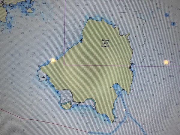
Screen shot of the chart of the island…
We did a 3+ mile hike in the area of Jenny Lind Bay, on Jenny Lind Island. We saw some birds and Musk Ox. The Musk Ox could be seen thru binoculars but were pretty far off. I did not have my 500 mm lens on this excursion, and thus no pictures. They showed up as dots (pixel Musk Ox) with the 200 mm.
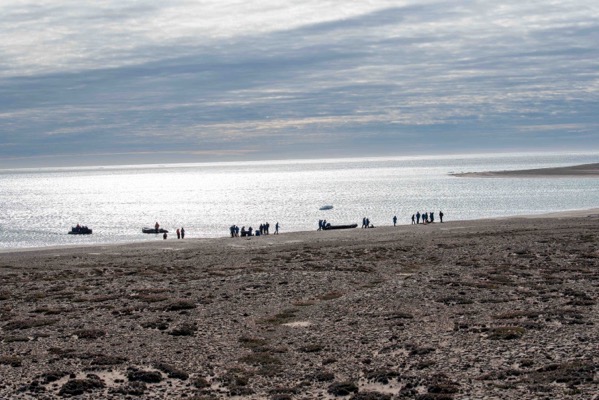
Landing on the island.
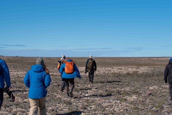
Hiking party. Our guides always carry weapons for protection from Polar Bears.
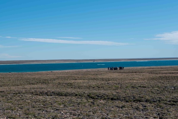 \
\
Jenny Lind Bay
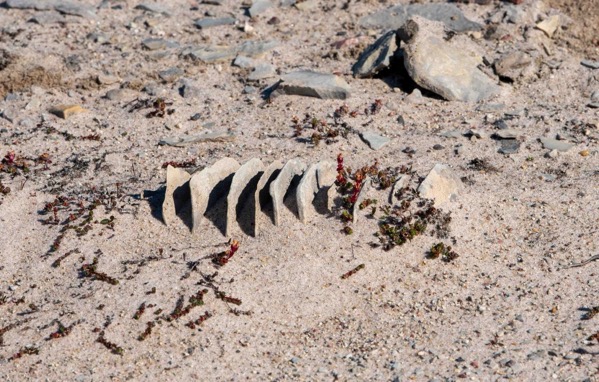
This is an interesting rock formation. The rock is originally formed by layers of sediment that build up over many (MANY!) years. As water seeps between these layers and freezes it pushes the layers apart. We did not disturb this, as if we did the parallel plates of the rock would break away. This is an advantage of going places where very few (or no) people have set foot. This rock has been undisturbed for many, many years for this phenomena to occur.
Even Harold, our Geologist on board was impressed with the about of separation between the plates…
There is a line of early warning missile detection radars along our route. This is part of the NORAD early detection system.
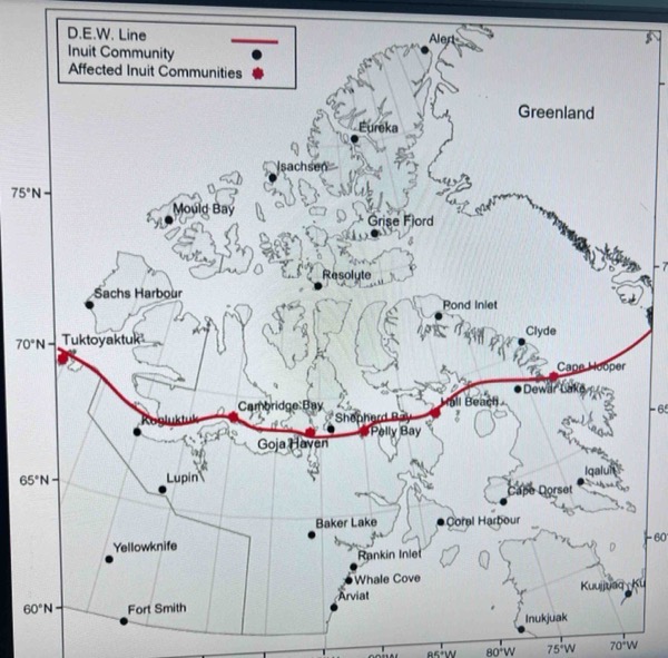
NORAD Early Warning DEW Line Radar Installations along out Northwest Passage route.
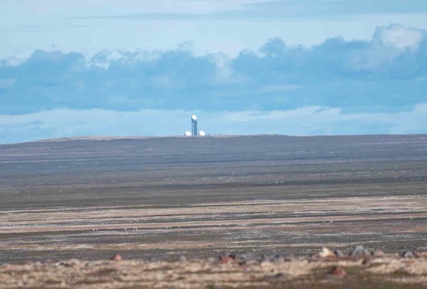
Early warning radar installation on Jenny Lind Island. This is an unmanned site.
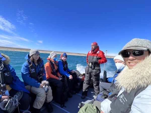
Heading back to the ship after our morning exploration…
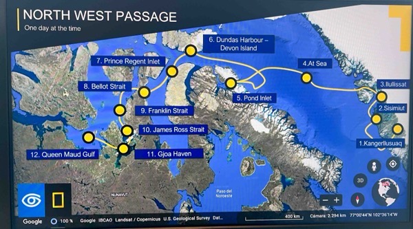
Our Progress to date. This afternoon we head for the community of Cambridge Bay.