Cambridge Bay
Last night we arrived in Cambridge Bay and spent the night in the harbor using dynamic positioning (sky hook). We have yet to use an anchor on this voyage. This morning and afternoon we had opportunities to go ashore and explore the community. As with other community visits, we are the first passenger vessel to visit Cambridge Bay since the start of the pandemic. The town seems excited to have us here and have been very warm and friendly. Cambridge Bay is the largest stop for passenger and research vessels traversing the Northwest Passage.
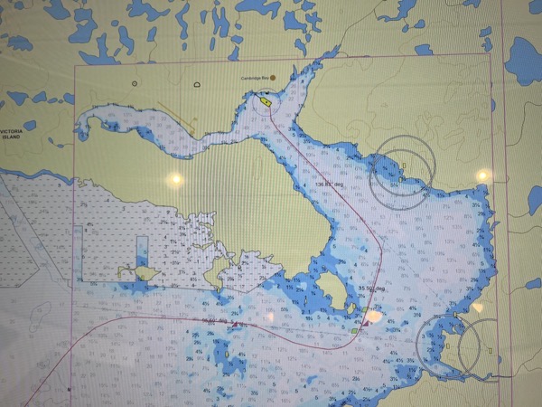
The approach into the bay is quite tricky. The channel is very narrow with depths down to ~10 meters (The Resolution draws ~5 meters). I was on the bridge last night when we entered the harbor.
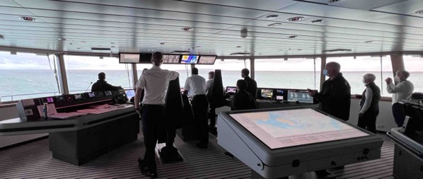
Martin (Captain) bringing us thru the channel into the harbor.
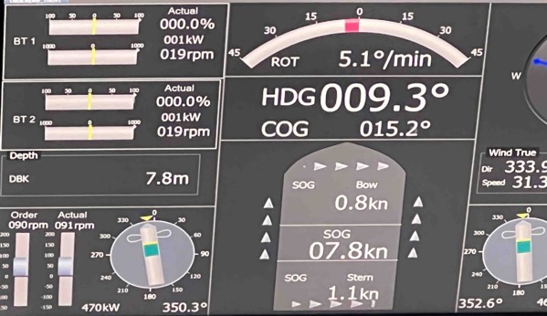
7.8 meters on the sounder!
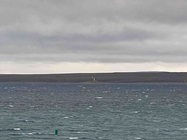
Range marker and green buoy. The red buoy (not pictured is less than 50 yards to the right) It is also worth noting that just over a week ago the harbor was still iced in.
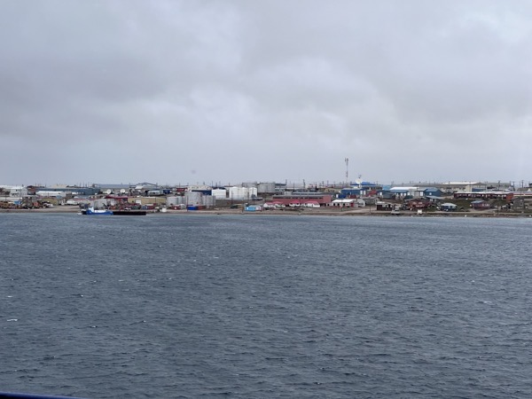
Cambridge Bay
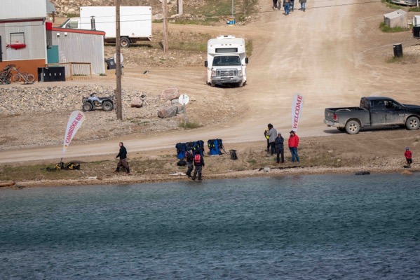
Our landing site.
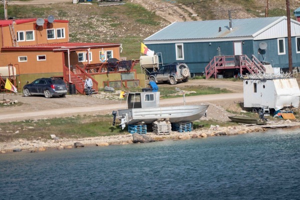
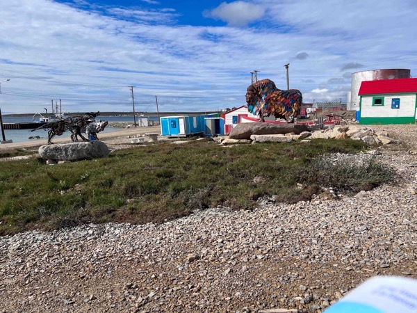
Heritage Center.
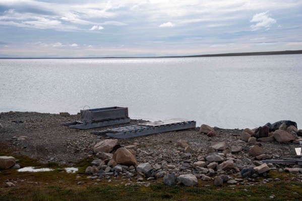
Sledges on the shoreline. The locals use these to go out on the ice. They use snowmobiles to pull them.
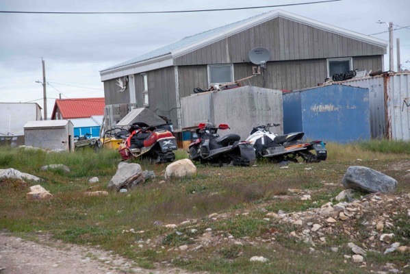
Snowmobiles waiting for winter…
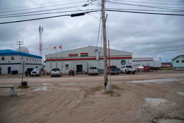
The local store…
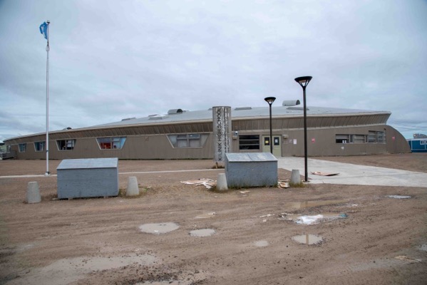
The High School. The library was open and they had a small museum that was very interesting, especially the kayak exhibit.
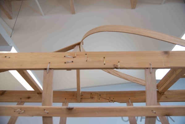
I was fascinated how all the wood joints of the frame are lashed. This is actually stronger and more flexible than screws or nails.
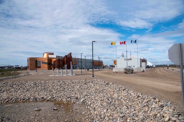
We visited the Canadian High Arctic Research Station (CHARS), an impressive facility and even more impressive given the remoteness of the location. It is Operated by Polar Knowledge Canada (a federal agency) (google it)
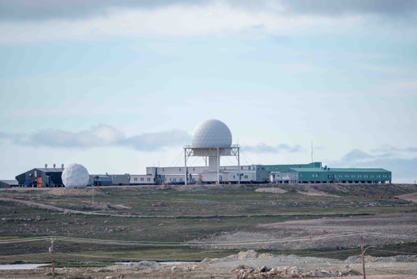
The radar site at Cambridge Bay.
And finally..
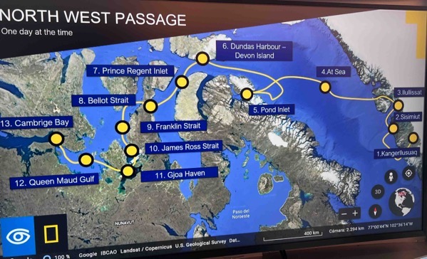
Our progress as of this afternoon….
5 thoughts on “Cambridge Bay”
Love these picture and the narrative you provide. Good work!
I’m really enjoying reading your post, Ken. What an amazing adventure.
SbiOAIcovgrH
hplzZHxKRsEUO
wgVGLlDkApczUa
Comments are closed.