Friday 22 July -Dundas Harbour
The original plan upon leaving Pond Inlet last evening, was to head south to Buchan Gulf, to explore the gulf, Icy Arm and Feacham Bay. However, this did not happen. While in Pond Inlet, our crew discussed our plans with the town elders and they requested that we did not head down thru the fast ice (ice sheets that are attached to the shore) as they were planing to be hunting there. While the resolution is fully capably of handling the predicted ice, we decided to head north to Dundas Harbour.
The route north was much quieter, breaking thru thick sheets of ice makes a lot of noise throughout the boat. We maneuvered most the night through fairly dispersed icebergs. In the morning the fog set in and the ice got thicker. As I mentioned before, there is an open bridge policy and watching the captain manually navigate the ship thru the ice (and in the fog, thus relying on the ice radar) is interesting to watch. The entrance to the harbour was clogged with ice, but we managed to power our way thru to find the inner bay mostly clear of ice. A scout party was sent ashore to secure an area to explore. The entire time ashore we have spotters both ashore and in boats looking for polar bears, and our guides carry rifles. We spent a few hours ashore, exploring the island and the remnants of an outpost, including a grave yard.
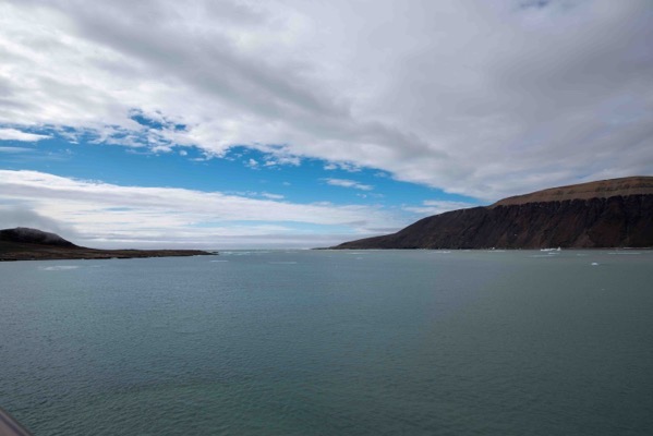
Our approach to Dundas Harbour.
Safely positioned in Dundas Harbour. 74 deg N, 340 min (~900 NM from there pole)
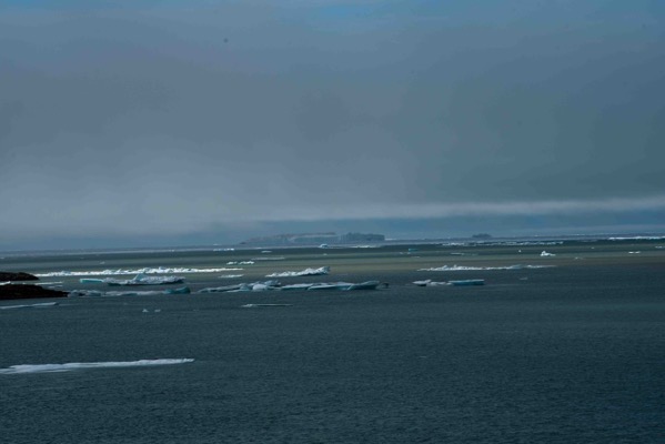
Apologies for the over exposure of this image. This is our way out. In the centre of the frame is the iceberg that almost kept us out of the harbour.
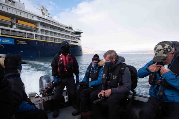
Heading ashore…
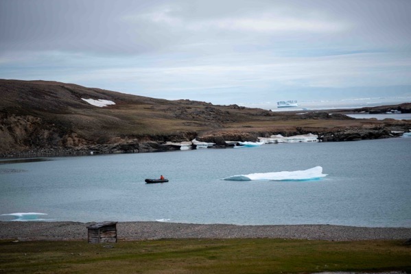
Crew keeping polar bear watch from a Zodiac.
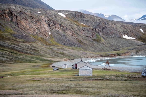
Abandoned RCMP outpost..
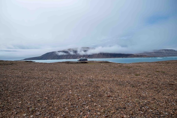
NG Resolution in Dundas Harbor
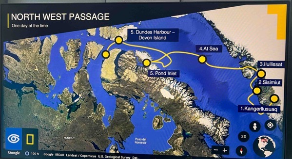
This is a screenshot of our progress so far. Tonight we head for Prince Regent Inlet. Then we hope to enter Belliot Straight.
Some interesting notes:
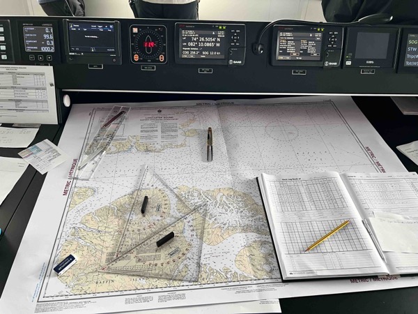
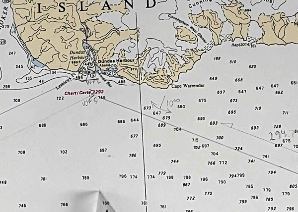
The Resolution is one of the most modern ships on the planet. While they have electronic charts for most (but not all) of the high arctic, the crew still uses traditional charting methods as a back up and sometimes as the primary, means of navigation. Even with the paper charts, the soundings are not considered reliable in this region.
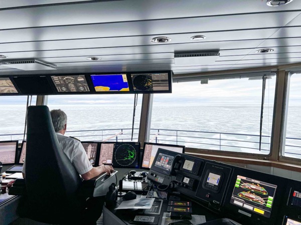
The bridge on this boat is insane and I have already spent a lot of time up there, at all hours, as the sun never sets.